
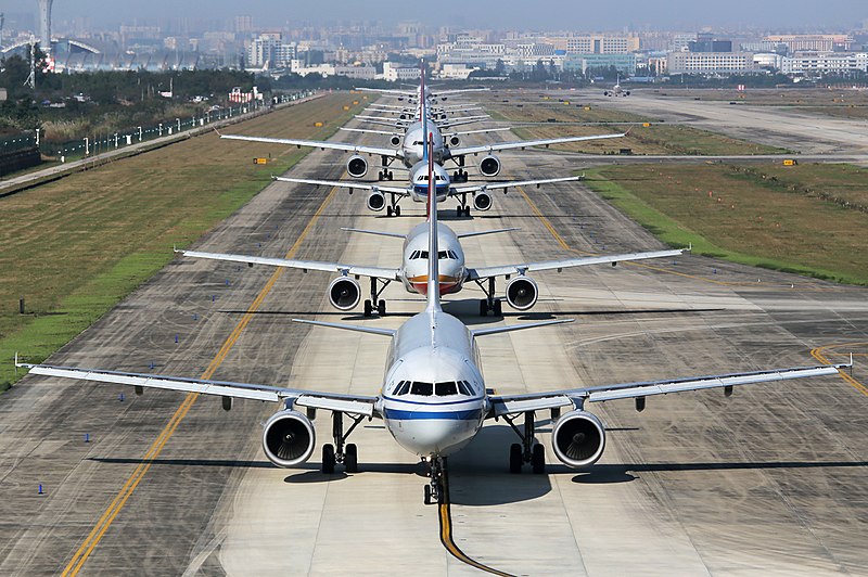
Have you ever wondered how pilots manage to navigate aircraft on the ground at vast international airports?
As a passenger, you will probably have noticed markings and signs displaying seemingly random letters and numbers as the aircraft taxies on the ground. But far from being random, once understood, these signs provide navigational information.
When an aircraft is ready to depart, the pilots will receive clearance from ATC to pushback. This is usually done via a tug assisted by ground staff who align the aircraft onto a taxiway adjacent to the stand.
But how do pilots know where to taxi the aircraft?
ATC will issue pilots with route instructions on how to get to the departure runway. This is given via a series of taxiways and may include restrictions such as holding points along the route.
All airports have ground movement plates, which are charts that detail the layout of an airport, including stand numbers, taxiways, and runways.
Some modern aircraft have these plates installed on flight computers, which appear as full moving maps on the flight-deck screens. Pilots also have these charts on portable devices.
Once the pilots have noted the cleared route, the rest very much follows an aviation ‘highway code’.

(Credit: FAA Airport Diagrams)
Taxiway
Pilots taxi aircraft following a centerline which should pass through the nose wheel gear. This ensures wing tip clearance from other aircraft and obstructions. Equally as important, it ensures the engines don’t overhang unpaved surfaces where any loose debris could cause serious damage if ingested.
The taxiway centerline is identified as a solid yellow line and is lit with green lights in darkness or low visibility. The taxiway edge is marked with double solid yellow lines and are lit with blue lights.
(Credit: L.G. Liao)
Signs and Markings
While taxiing, pilots will look for signs to confirm their current position and the direction to take in order to follow the earlier instructions from ATC.
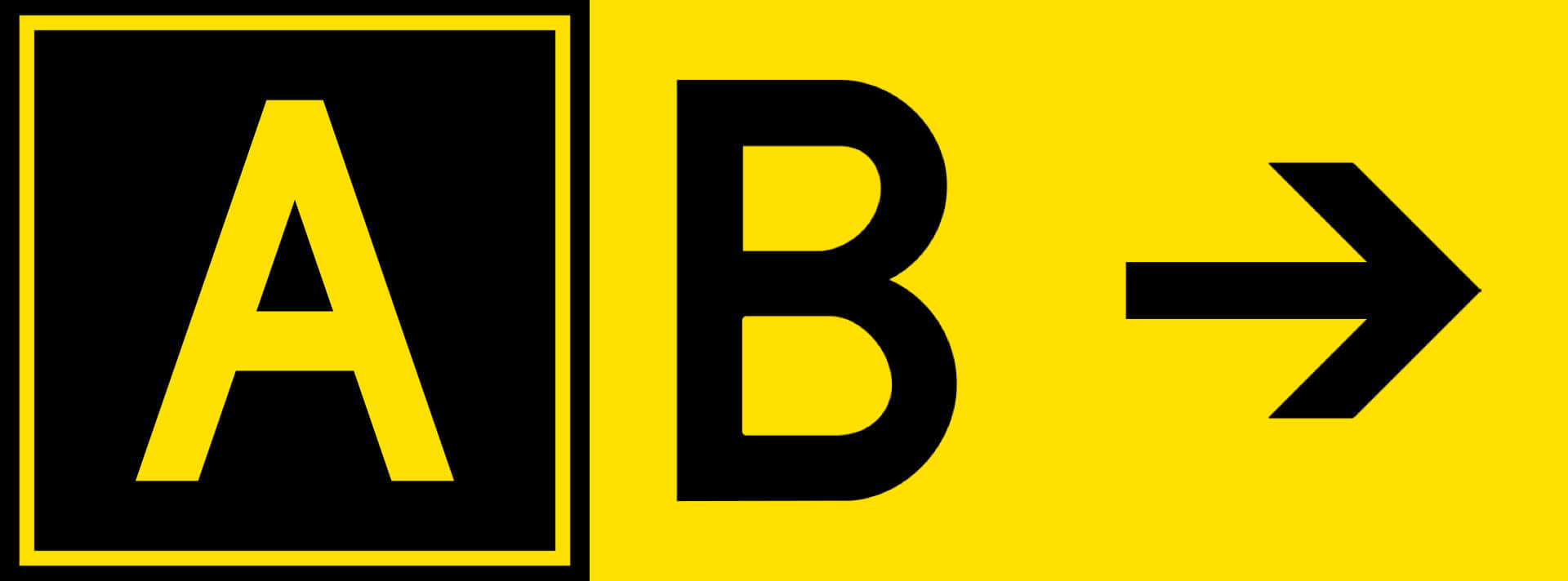
Signs with yellow text on a black background indicate the location of an aircraft or the location it is about to enter, whereas signs with black text on a yellow background indicate a directional information sign, usually accompanied by an arrow.
In the example below, the aircraft is currently on Taxiway Alpha with Taxiway Bravo to the right.
(Credit: Denelson83 / Wikimedia Commons)
Mandatory instruction signs are white text on a red background. They indicate a location which a taxiing aircraft must not enter without clearance. The most common of these is the runway designation sign.
The numbers of a runway are two digit and correspond to a magnetic compass direction of that runway to the nearest 10º, 18 being 180º and 36 being 360º.
Parallel runways are given ‘L’, ‘C’ or ’R’ designators to denote left, center or right.
Holding Points
ATC can instruct aircraft to hold short of a runway at holding points until the runway is available. At larger airports, aircraft may have to cross one or more runways to reach the departure runway.
Holding points consist of four yellow lines, two solid and two dashed, depending on which direction you are travelling, an aircraft can cross the dashed without a clearance i.e. vacating the runway, but must not cross from the side of the solid lines without an ATC clearance i.e. entering the runway.
These holding points are also marked with either runway guard lights, which consist of a pair of flashing yellow lights either side of the taxiway or yellow lights installed across its entire width.
Some airports have stop bar lights, a row of red lights installed along the width of the taxiway, which extinguish when ATC have given clearance to proceed.
Once on the runway, the pilots are given a clearance to takeoff and the task of navigating the airport is completed until it reaches its destination.

(Credit: Robert Aehnelt / Wikimedia Commons)