Altimeters are unsung heroes of aviation, quietly performing a critical role in ensuring the safety and precision of flights. These instruments play a pivotal part in providing accurate altitude information, enabling pilots to navigate the skies with confidence.
This article will explore the world of altimeters, shedding light on their working principles, the various types used in aviation, their practical applications for pilots, and the regulatory standards that govern their use.
What is an altimeter?
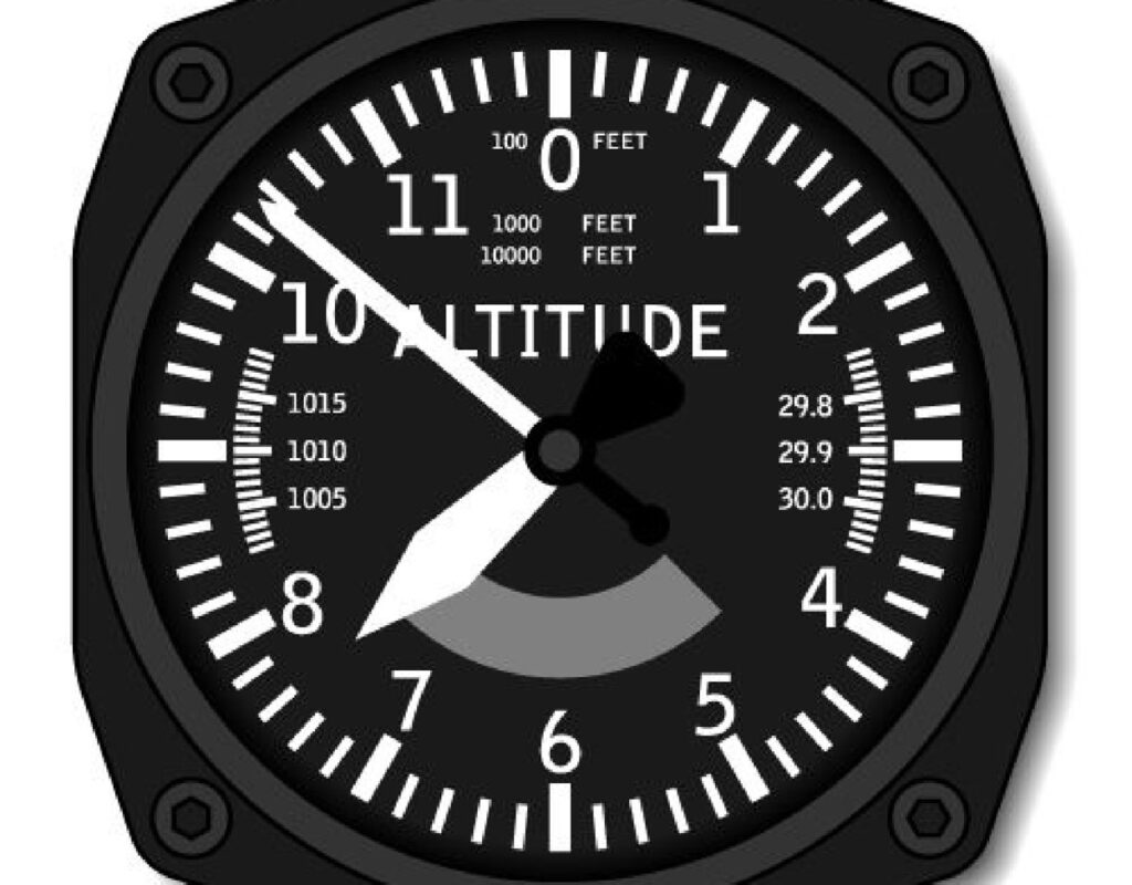
An altimeter is an instrument used in aviation to measure and indicate an aircraft’s altitude above a specific reference point, usually mean sea level (MSL). Its primary function is to provide real-time information on the aircraft’s vertical position, aiding pilots in maintaining safe and precise flight levels.
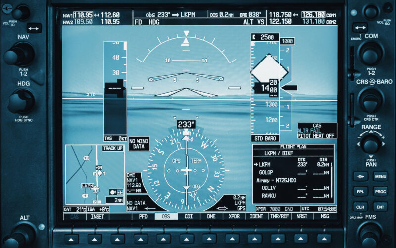
Altimeter technology has come a long way since its inception. Early models relied on mechanical barometric pressure sensing, and while they were a significant advancement in their time, they had significant limitations in terms of accuracy and reliability. Modern altimeter technology now utilizes advanced electronics, resulting in highly accurate and dependable altitude measurements.

The most common types of altimeters used in the aviation industry
Pressure altimeters (barometric)
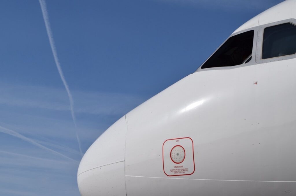
Pressure altimeters operate on the principle that atmospheric pressure decreases with increasing altitude. They measure the pressure at the aircraft’s current location and convert it into an altitude reading above a standard reference level, such as sea level. This is called static pressure, and it is measured using a device affixed to the aircraft’s exterior, known as a static port.

Sonic altimeters
Sonic altimeters use sound waves to calculate altitude, similar to the acoustic location method used by bats and dolphins. By emitting a sound signal and measuring the time it takes for the echo to return, these altimeters provide more accurate measurements than their barometric counterparts.
Radio altimeters
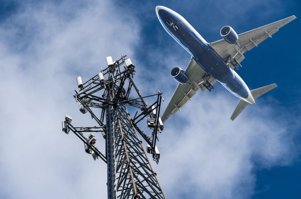
Radio altimeters, also known as radar altimeters, use radio waves to determine the aircraft’s height above the terrain directly beneath it. These altimeters are crucial during the takeoff and landing phases of flight.
Laser altimeters
Laser altimeters employ laser beams to determine the aircraft’s height above the ground. They are commonly used in terrain mapping and obstacle detection systems.
GPS altimeters
GPS-based altimeters use signals from satellites to calculate the aircraft’s altitude. They offer great accuracy and are equally valuable during all phases of flight.
The various pressure configurations employed by the altimeter
Altimeters, the instruments that provide these measurements, are calibrated using various pressure configurations to ensure accuracy and safety during flight. These pressure settings, known as QNH, QFE, and QNE, play a pivotal role in defining how altimeters interpret and present altitude data.
QNH
QNH is the setting that calibrates the altimeter to indicate altitude above mean sea level (MSL) when the local atmospheric pressure is set at 1013.2 hPa (hectopascals) or 29.92 inches of mercury. In essence, it allows the altimeter to provide an altitude reading as if the aircraft were above sea level.
Pilots commonly set their altimeters to QNH when flying under Instrument Flight Rules (IFR) or Visual Flight Rules (VFR) in the vicinity of airports. This setting helps to ensure that the aircraft’s indicated altitude is aligned with the altitude above sea level, promoting safe operations during takeoff, approach and landing. This setting helps with terrain avoidance as charts indicate obstacles using elevation above MSL.
QFE
QFE is the altimeter setting that adjusts the altimeter to indicate the height above the airfield’s specific reference point (usually the runway threshold) when the local atmospheric pressure is set to zero (0) hPa. This setting is location-specific.
QFE is predominantly used by military and some general aviation pilots when flying in the vicinity of airfields. It provides altitude information directly relative to the airfield’s runway, simplifying operations in the vicinity of the home base.
QNE
QNE is the standard pressure setting of 1013.2 hPa or 29.92 inches of mercury, which makes the altimeter indicate the aircraft’s altitude in terms of pressure.
Pilots use the QNE setting at higher altitudes during en-route portions of their flights, where the reference point is typically not an airfield. It ensures that altitudes are standardized and can be compared with other aircraft and air traffic control at different flight levels.
Effects on altitude readings
The choice of pressure setting directly impacts the indicated altitude on an aircraft’s altimeter. Using QNH, the altimeter reads altitude above sea level; with QFE, it reads height above the airfield reference point, and QNE provides pressure altitude.
Failure to select the appropriate pressure setting can result in inaccurate altitude readings, potentially leading to safety issues. Proper calibration is critical for safe navigation and maintaining the separation between aircraft.
The selection of the correct setting depends on the phase of flight and the specific requirements for the operation. Pilots must be diligent in setting the altimeter correctly and in a timely manner, as changes in atmospheric pressure can affect altitude readings during flight.
Regulations and standards governing altimeter use
In the dynamic and high-stakes realm of aviation, a web of regulations and standards is in place that seeks to ensure the safety and efficiency of every flight. These rules are overseen and upheld by a series of regulatory bodies on both national and international levels.
International Civil Aviation Organization (ICAO)
At the global level, the International Civil Aviation Organization (ICAO) stands as the preeminent authority for setting and maintaining international standards and practices in civil aviation. ICAO is responsible for crafting the regulations that harmonize aviation practices across the globe. This includes specific guidelines related to altimeter usage, calibration and maintenance.
National aviation authorities
Within each country, a National Aviation Authority (NAA) holds the responsibility for ensuring compliance with aviation regulations. In the United States, for instance, the Federal Aviation Administration (FAA) acts as the NAA. These authorities enforce ICAO standards while also issuing and overseeing national regulations pertaining to altimeter use.
International and national regulations
Altimeter regulations exist at both international and national levels, and they differ depending on the type of flight operation: either Visual Flight Rules (VFR) or Instrument Flight Rules (IFR).
VFR (Visual Flight Rules)
In VFR conditions, where pilots rely on visual references, altimeters primarily ensure safe terrain clearance. Regulations stipulate that altimeters must be calibrated and used accurately. This helps to maintain proper separation between aircraft and the ground, as well as between separate aircraft in flight. Altimeter accuracy is particularly crucial when flying at low altitudes in good visibility, as pilots then use visual cues to assess their height above the ground.

IFR (Instrument Flight Rules)
Under IFR conditions, where pilots navigate and control the aircraft solely by reference to instruments, altimeters become an indispensable tool. Rigorous standards and regulations dictate that altimeters must undergo regular calibration and maintenance to ensure precision. These regulations are in place to maintain the safety and integrity of flights when visibility is limited, and pilots depend entirely on their instruments for altitude guidance.

