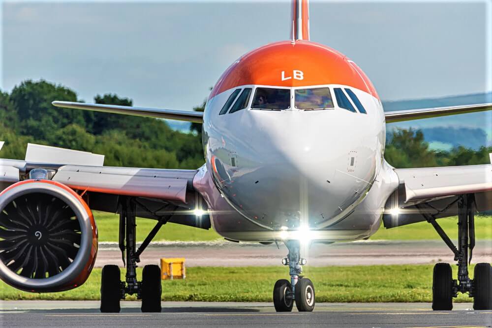
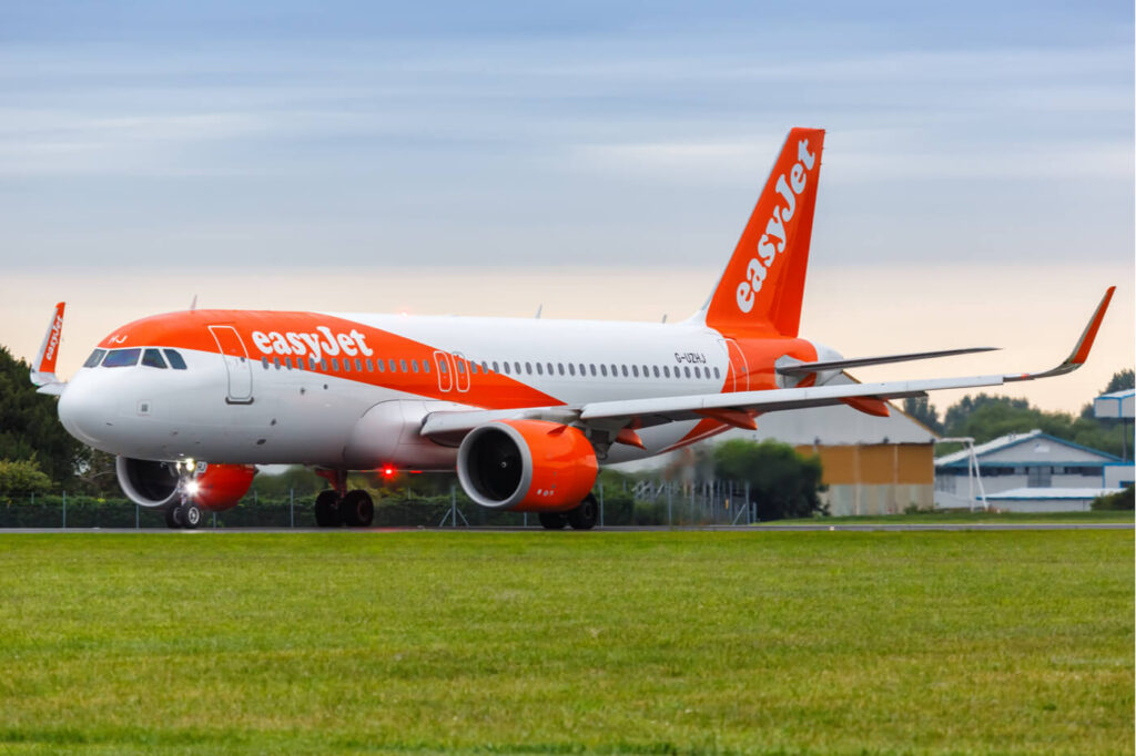
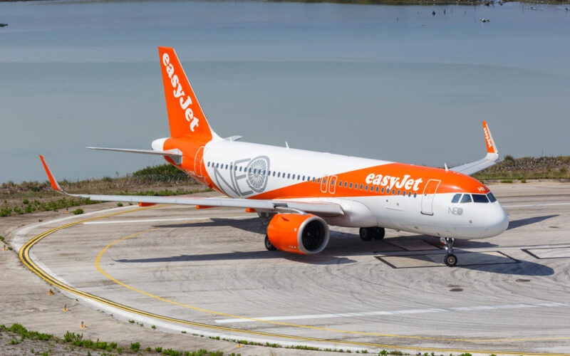
EasyJet has become the first airline to sign up to the Iris program satellite-based future airspace control program, which is expected to play a crucial role in facilitating the modernization of airspace across the industry in the coming years.
The Iris program is an initiative being led by the European Space Agency (ESA) along with the global communications organization Viasat. The program aims to utilize state-of-the-art satellite technology to revolutionize air traffic management (ATM).
ESA’s European Satellite Services Provider (ESSP) has already secured support from 15 leading Air Navigation Service Providers (ANSPs) to facilitate the first commercial flights across Europe using Iris, set to take place in 2024. Up to eleven easyJet Airbus A320neo aircraft will also participate as part of the program.
Iris works by enhancing satellite communications between aircraft and ground control. This innovation should support air traffic controllers and pilots in achieving operational efficiencies by calculating optimal routes, and cruising altitudes, and employing continuous climb and descent paths.
Through using the benefits offered by the Iris program, easyJet aims to operate its aircraft with maximum efficiency, resulting in further improvements in terms of fuel burn and emissions reductions.

This initiative also marks a significant milestone, as the first European implementation of the Single European Skies initiative. The Iris program is expected to play a pivotal role in driving airspace modernization throughout the aviation industry.
Airspace modernization is a critical component in the airline industry’s pursuit of net-zero emissions. In 2022, easyJet announced an interim science-based carbon reduction target, aiming for a 35% carbon emissions intensity improvement by FY2035, based on a FY2020 baseline. This commitment aligns with easyJet’s overarching goal of achieving net-zero carbon emissions by 2050.
Efficient airspace utilization is crucial for reducing emissions in aviation, presenting the most viable avenue for immediate carbon reductions. Direct flight paths lead to shorter flying times, resulting in lower fuel burn and reduced emissions. Achieving this degree of efficiency is integral to the fulfillment of the Single European Sky’s ATM Research (SESAR) ambition, namely a target of a 10% reduction in carbon emissions from the European aviation sector.
“More efficient use of airspace is a critical way we can tackle the industry’s emissions right now,” said Hugh McConnellogue, Director of Operations & Navigation at easyJet. “Adopting Iris technology on these aircraft will enable easyJet to fly more directly and efficiently, thereby reducing carbon emissions as well as enhancing our on-time performance which in turn improves our customers’ experiences.”
“We are thrilled to be paving the way in this area whilst working towards our goal to achieve our net-zero ambitions by 2050, as outlined in our roadmap,” Connellogue added.

Charlotte Neyret, Chief Executive Officer, ESSP, said: “These first commercial flights are bringing to reality a decade of both vision and investment in this new datalink communication solution to achieve safer and greener aviation. ESSP is delighted to operate this moment of synchronization between all stakeholders, from industry to airlines, with the proactive contribution of numerous Air Navigation Service Providers.”
“Thanks to all partners, ESSP is proud to provide Iris Satcom datalink service to Europe, as well as to initiate the Iris flights with a key airline such as easyJet. Iris technology allows the development of new environmentally friendly routes, which will improve ATC management, reduce fuel costs, and lead to the deployment of more efficient air operations,” Neyret added.
Airbus offers Iris as a fully developed and certified capability on both its A320 and A330 families of aircraft. Iris shares trajectory and intent-based operational information with ground stations, enabling airlines to avoid holding patterns, calculate optimal routes and altitudes, and benefit from continuous climb and descent pathways, rather than stepped changes in altitudes which burn more fuel overall.

