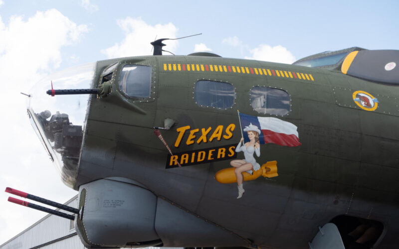
The National Safety Transportation Board (NTSB) released its preliminary findings from the Wings Over Dallas historic air show, summarizing the events that happened prior to the mid-air collision.
The accident, which took place on November 12, 2022, resulted in the death of six people onboard the two aircraft, namely a Boeing B-17 and a Bell P-63. The two aircraft collided in the air when the P-63 was banking to the left, hitting the left-side aft wing section of the B-17, sending the pair of planes into the ground.
“Both airplanes were operated under the provisions of Title 14 Code of Federal Regulations Part 91 in the Wings Over Dallas Airshow,” the NTSB’s report noted. Additionally, the government agency indicated that the aircraft were part of two different airship formations, as the Bell P-63 fighter and Boeing B-17 bomber were flying in three and five-ship formations, respectively.
Following an analysis of Automatic Dependent Surveillance-Broadcast (ADS-B) and radio transmission data, the NTSB indicated that the air boss at Wings Over Dallas was directing the two formations to fly southwest of the runway at Dallas Executive Airport (RBD). Subsequently, they were ordered to return to the flight display area.
“He directed the fighter formation to transition to a trail formation, fly in front of the bomber formation, and proceed near the 500 ft show line. The bombers were directed to fly down the 1,000 ft show line,” continued the report. Both show lines kept a distance of 500 and 1,000 feet from the viewing line where the audience was spectating the display.
No altitude deconflictions
However, the NTSB’s report stated that there was no altitude deconfliction brief neither in the air nor on the ground.
“There were no altitude deconflictions briefed before the flight or while the airplanes were in the air. When the fighter formation approached the flying display area, the P-63F was in a left bank and it collided with the left side of the B-17G, just aft of the wing section,” the preliminary accident report continued.
Following the mid-air collision, both aircraft broke up while in the air and hit the terrain on the airport’s property just south of the approach area of one of the field’s runways. The B-17 was on fire while still in the air and exploded as it impacted the ground.
“Both airplanes were equipped with ADS-B. An Avidyne IFD540 unit from the B-17G and a Garmin GPSMAP 496 unit from the P-63F were recovered and submitted to the National Transportation Safety Board Vehicle Recorders Laboratory,” the report stated. However, the P-63F’s mini-multi-function display (MFD) did not record any data for the flight that resulted in the accident.
“The wreckage of both airplanes was retained for further examination,” the report concluded. The weather conditions, per the information provided by the NTSB, provided 10 miles (16 kilometers) of visibility, while the wind speed was 14 knots, with gusts up to 18 knots at 350°.
READ MORE:

